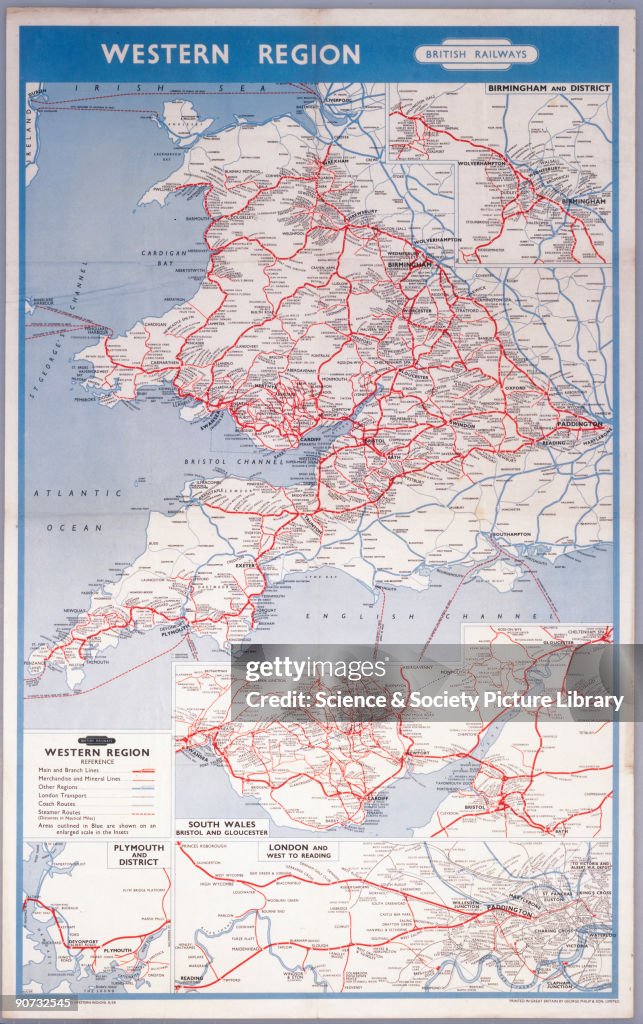
Western Region - Map of the System', BR (WR) poster, 1958.
UNITED KINGDOM - NOVEMBER 15: Western Region - Map of the System', BR (WR) poster, 1958. Poster produced for British Railways (BR) Western Region (WR), showing a map indicating routes between London, Birmingham, Wales and the West Country. Printed in Great Britain by George Philip & Son Ltd. (Photo by Science & Society Picture Library/SSPL/Getty Images)

COMPRAR UMA LICENÇA
Como posso usar esta imagem?
R$ 3.000,00
BRL
Atenção: imagens que retratam eventos históricos podem conter temas ou ter descrições que não refletem a compreensão atual. Elas estão sendo fornecidas em um contexto histórico. Saiba mais
DETALHES
Restrições:
Contate o escritório local para todos os usos comerciais ou promocionais.
Crédito:
ID Editorial:
90732545
Coleção:
SSPL
Data da criação:
15 de novembro de 2009
Data do upload:
Tipo de licença:
Info sobre autorização:
Sem autorização Mais informações
Fonte:
SSPL
Nome do objeto:
10172877
Tamanho máximo do arquivo:
2200 x 3504 px (18,63 x 29,67 cm) - 300 dpi - 6 MB