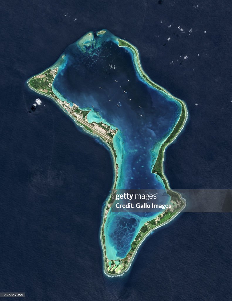
Satellite view of the Diego Garcia
DIEGO GARCIA, BRITISH INDIAN OCEAN TERRITORY JULY 02, 2013: (SOUTH AFRICA OUT): Diego Garcia, a British Indian Ocean Territory and the largest of the islands in the Chagos Archipelago on July 02, 2013 in Diego Garcia, British Indian Ocean Territory. (Photo by USGS/NASA Landsat data/Orbital Horizon Gallo Images/Gallo Images/Getty Images)

Tenha essa imagem em diversas opções de enquadramento no Photos.com.
COMPRAR UMA LICENÇA
Como posso usar esta imagem?
R$ 3.000,00
BRL
DETALHES
Restrições:
Contate o escritório local para todos os usos comerciais ou promocionais.SOUTH AFRICA OUT
Crédito:
ID Editorial:
826357064
Coleção:
Gallo Images
Data da criação:
02 de julho de 2013
Data do upload:
Tipo de licença:
Info sobre autorização:
Sem autorização Mais informações
Fonte:
Gallo Images Editorial
Nome do objeto:
DiegoGarciaBIOT2July2013NLS
Tamanho máximo do arquivo:
1540 x 1993 px (13,04 x 16,87 cm) - 300 dpi - 2 MB