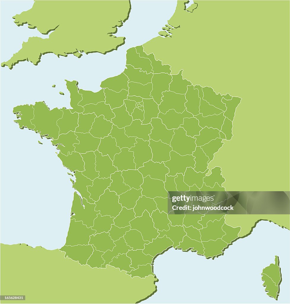
Ilustração de Francês de mapa regional dois
"A detailed map of France showing all the main and subsidiary regions. Each main region is on its own named layer and each subdivision of that region is separately selectable. The main regions have a thicker white outline, the subdivisions have a darker green fill. At the base of a map is a lighter green fill so any region or subdivision can be deleted and a background color will still be present. It is simple to re color or delete any division."

Tenha essa imagem em diversas opções de enquadramento no Photos.com.
COMPRAR UMA LICENÇA
Todas as licenças royalty-free incluem direitos de uso global, proteção abrangente, preços simplificados com possibilidade de desconto por volume
R$ 3.000,00
BRL
DETALHES
Crédito:
ID Criativo:
165628431
Tipo de licença:
Coleção:
DigitalVision Vectors
Tamanho máximo do arquivo:
3983 x 4176 px (33,72 x 35,36 cm) - 300 dpi - 2 MB
Data do upload:
Info sobre autorização:
Com autorização de modelo e cessão de uso de propriedade
Categorias:
- Provence-Alpes-Côte d'Azur,
- Alsácia,
- Aquitânia,
- Baixa Normandia,
- Bretanha,
- Cote d'azur,
- Córsega,
- Departamento das Ardenas - França,
- Europa - Locais geográficos,
- Franche-Comté,
- França,
- Ilustração e Pintura,
- Languedoc-Rousillon,
- Limousin - França,
- Lorraine,
- Mapa,
- Midi-Pireneus,
- Ninguém,
- Nord-Pas-de-Calais,
- Normandia,
- Paris,
- Picardia,
- Poitou-Charentes,
- Rhône-Alpes,
- Vale do Loire,
- Vector,
- Île-de-France,