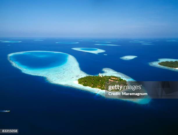
vista aérea da ilha tropical e lagoa de recifes rasos - indian ocean - fotografias e filmes do acervo
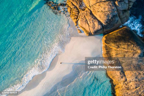
fotografia aérea costeira do oceano aquático e homem caminhando ao longo da praia de sandbar branco - indian ocean - fotografias e filmes do acervo
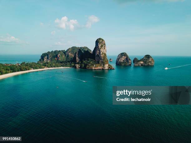
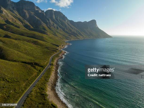
falésias junto à praia de railay, província de krabi, tailândia - indian ocean - fotografias e filmes do acervo
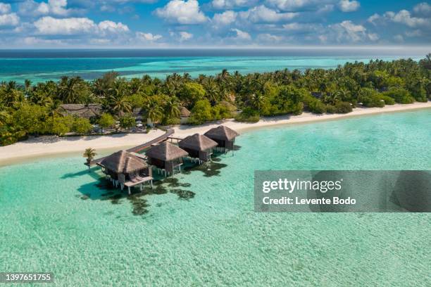
maldives paradise scenery. tropical aerial landscape, seascape with long jetty, water villas with amazing sea and lagoon beach, tropical nature. exotic tourism destination banner, summer vacation - indian ocean - fotografias e filmes do acervo
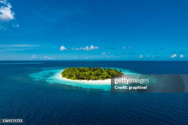
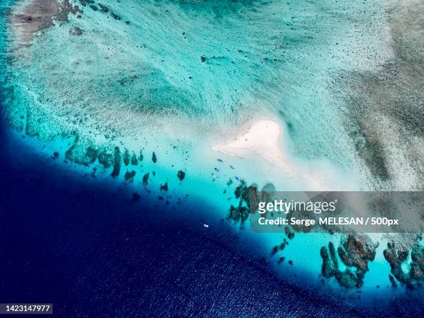
vista aérea de drone da ilha tropical com recife de coral no oceano - indian ocean - fotografias e filmes do acervo
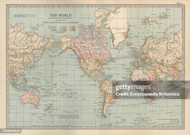
Map Of The Colonial Powers Map Of The World Showing "The Chief Countries And Their Colonies," Circa 1902, From The 10Th Edition Of Encyclopaedia...
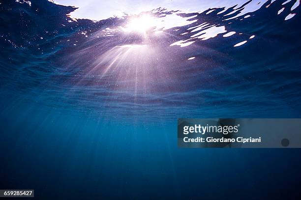
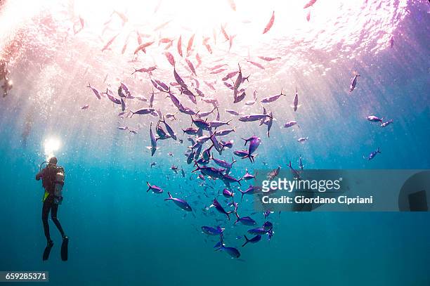
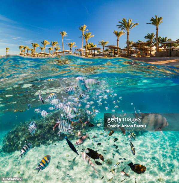
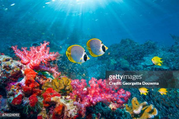
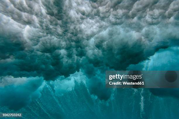
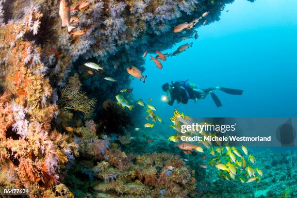
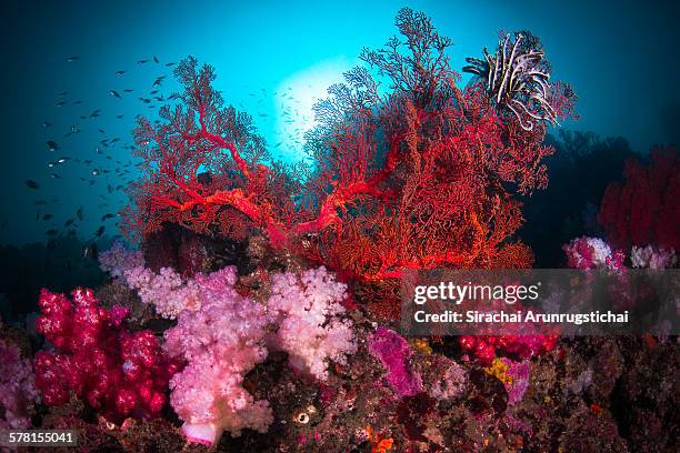
underwater scene with tropical fishes. snorkeling in red sea, egypt - indian ocean - fotografias e filmes do acervo
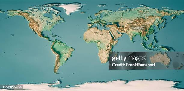
mapa mundial topográfico mapa escuro da cor do oceano - indian ocean - fotografias e filmes do acervo
ilha da reunião vista do ar com a montanha piton des neiges, ilha da reunião, oceano índico - indian ocean - fotografias e filmes do acervo
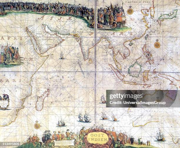
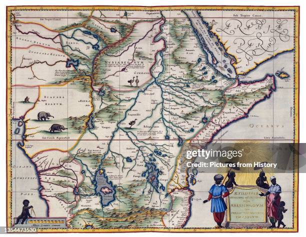
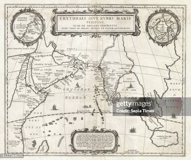
Map of the Indian Ocean, 1902. Showing the coast of East Africa, Arabia, the Indian subcontinent, the Far East and part of Australia. From The...
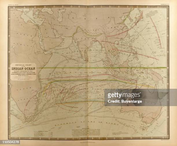
Map of the Indian Ocean. Map showing the Indian subcontinent, East Africa, the Arabian peninsula, Indo-China and Western Australia. Plate 54 from The...
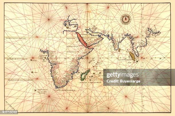
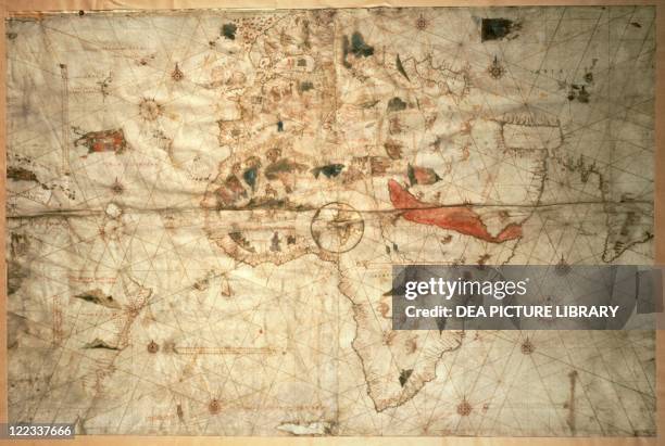
Portolan Map of Africa, the Indian Ocean and the Indian Subcontinent. Done in 1544 by the Italian cartographer Battista Agnese.
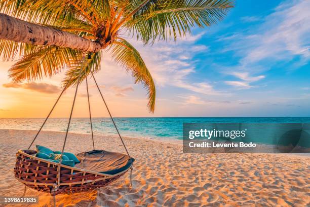
beautiful tropical sunset beach and sky background as exotic summer landscape with beach swing or hammock and white sand and calm sea beach banner. paradise island beach vacation or summer holiday destination - indian ocean - fotografias e filmes do acervo
The Atlas Maior is the final version of Joan Blaeu's atlas, published in Amsterdam between 1662 and 1672, in Latin , French , Dutch , German and...
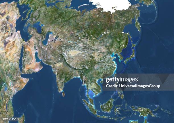
True colour satellite image of Asia. This image in Lambert Azimuthal Equal Area projection was compiled from data acquired by LANDSAT 5 & 7...
True colour satellite image of Africa. This image in Lambert Azimuthal Equal Area projection was compiled from data acquired by LANDSAT 5 & 7...
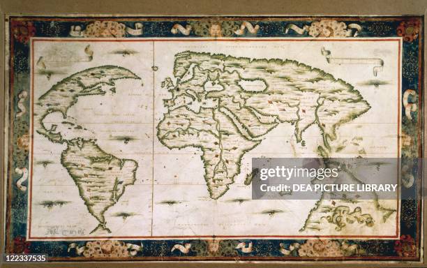
Cartography, 18th century. World map drawn from observations made at the Academy of Sciences. Created by Guillaume Delisle, Paris, 1700. Copperplate...
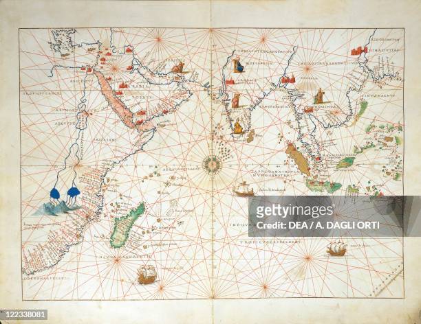
Cartography, 16th century. The Indian Ocean and part of Asia and Africa, from Atlas of the World in thirty-three Maps, by Battista Agnese, 1553.
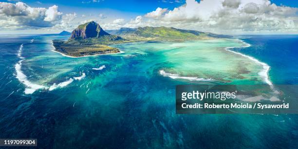
le morne brabant peninsula and underwater waterfall, aerial view, mauritius - indian ocean - fotografias e filmes do acervo
aerial view of tropical island during sunrise amazing beautiful sea landscape in south of thailand. - indian ocean - fotografias e filmes do acervo
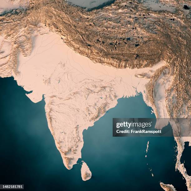
índia 3d render mapa topográfico oceano escuro neutro - indian ocean - fotografias e filmes do acervo
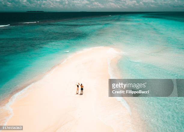
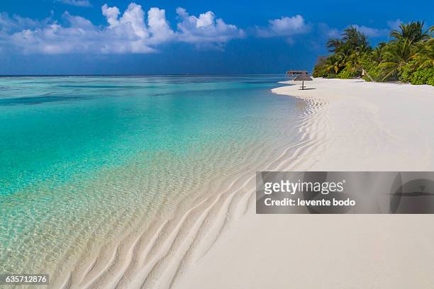
pares adultos novos que estão em um sandbank de encontro à água de turquesa em maldives - indian ocean - fotografias e filmes do acervo
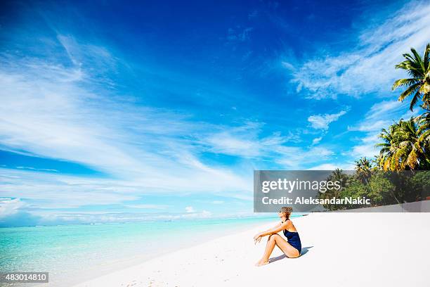
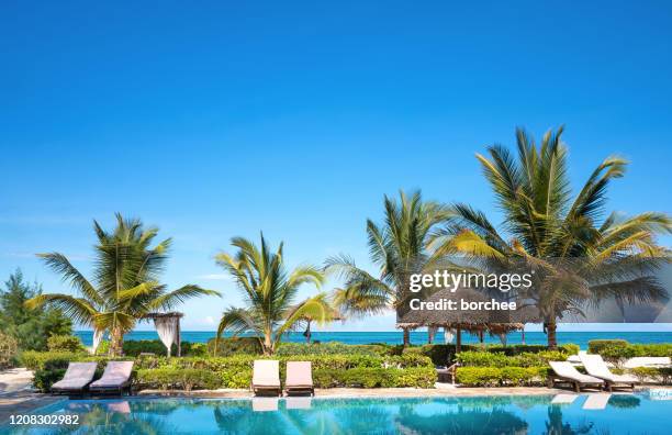
mulher adulta nova que relaxa em um balanço em um paraíso tropical - indian ocean - fotografias e filmes do acervo
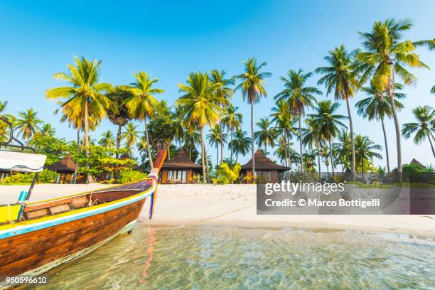
tourist resort's bungalows on the beach, ko mook, thailand - indian ocean - fotografias e filmes do acervo
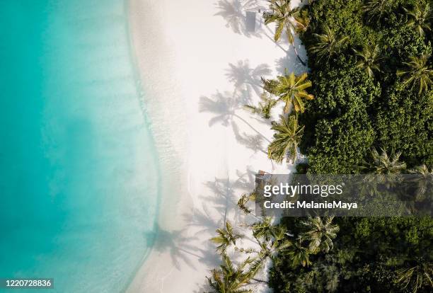
maldives paradise beach. perfect tropical island. beautiful palm trees and tropical beach. moody blue sky and blue lagoon. luxury travel summer holiday background concept. - indian ocean - fotografias e filmes do acervo