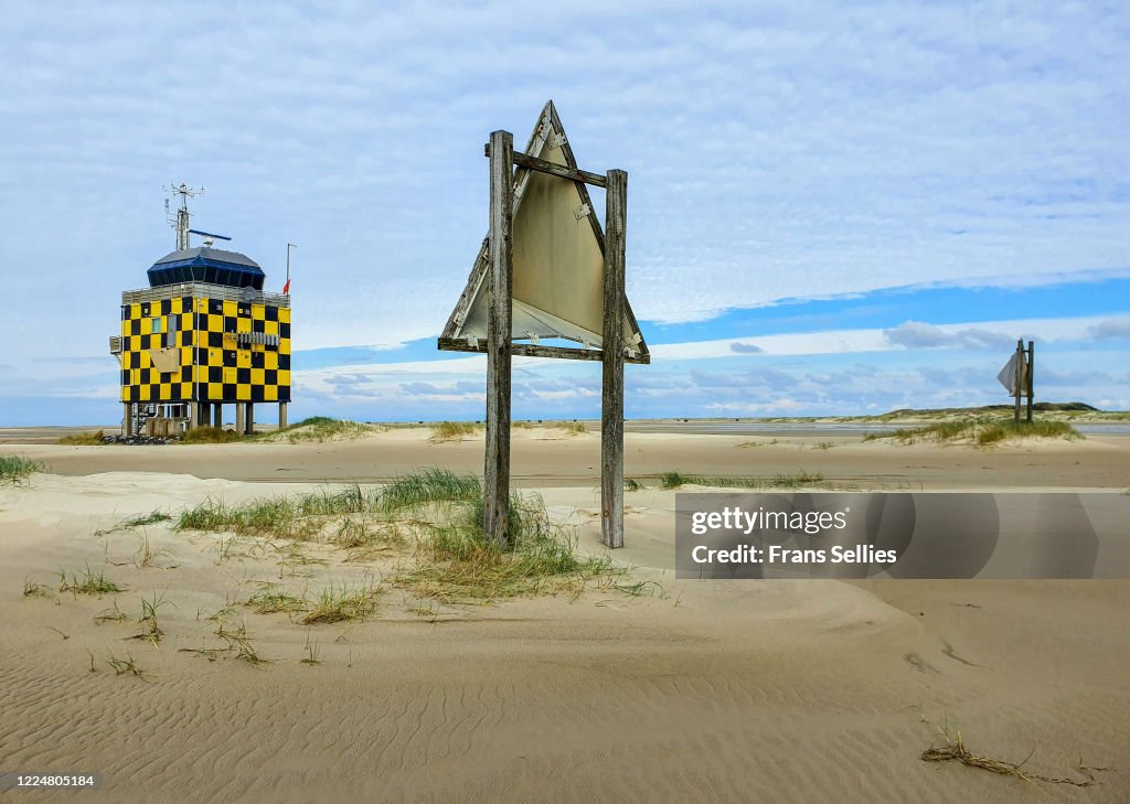
Foto de stock de Vliehors Range Control Tower, Vlieland, Netherlands
This Shooting Range is located at Vliehors on the island of Vlieland in the northwestern part of the Netherlands. The range is used for air gunnery, unguided rockets and bombing practise with both practise and live ammunitions, the only one in the Netherlands where this is possible.
The NATO callsign for this area is cornfield.
In the weekends the area is open to public and the red flag is down.
The Vliehors is almost the western half of the island of Vlieland and consists of sand. It is nicknamed "The Sahara of the north".
One can see that the Red flag is down, today no danger.

Tenha essa imagem em diversas opções de enquadramento no Photos.com.
COMPRAR UMA LICENÇA
Todas as licenças royalty-free incluem direitos de uso global, proteção abrangente, preços simplificados com possibilidade de desconto por volume
R$ 3.000,00
BRL
DETALHES
Crédito:
ID Criativo:
1224805184
Tipo de licença:
Coleção:
Moment
Tamanho máximo do arquivo:
4027 x 2869 px (34,10 x 24,29 cm) - 300 dpi - 6 MB
Data do upload:
Local:
Vliehors, Vlieland, Netherlands
Info sobre autorização:
Não requer autorização
Categorias:
- Nuvem,
- Radar,
- Areia,
- Bandeira,
- Campo de Treinamento Militar,
- Cena de tranquilidade,
- Céu - Fenômeno natural,
- Céu Dramático,
- Deserto,
- Dia,
- Exterior,
- Exterior de Prédio,
- Fotografia - Imagem,
- Friesland,
- Horizontal,
- Ilhas Frísias Ocidentais,
- Imagem a cores,
- Litoral,
- Ninguém,
- Paisagem - Cena Não-urbana,
- Países Baixos,
- Praia,
- Refletor - Objeto manufaturado,
- Reflexo - Efeito de luz,
- Tiro ao Alvo,
- Torre de controle de tráfego aéreo,
- Tropas,
- Vermelho,
- Vlieland,
- Água,